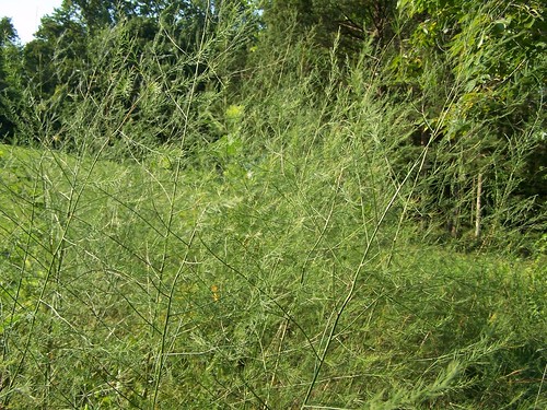
In celebration of High Bridge Trail State Park will offer a wild plant and wildflower educational walk on Saturday, September 24, at 9:30 am and again at 3:30 pm.
Trail volunteer and Chesterfield County Science teacher, Michael Stange, will lead a 1.5 mile walk from the River Road access point towards Farmville, pointing out some of the many spectacular native plants and animals that call the park home.

Learn about many of the native flowers, grasses, shrubs and trees along the trail, how to identify them, their historical, culinary and medicinal uses and learn to stalk the ever elusive wild asparagus. Also, learn about many of the naturalized and invasive species present along the trail, how to tell them apart from similar native species, the impact of invasive species on native ecosystems and what you can do to prevent their spread.

Also learn about some of the many butterflies, bees, birds and mammals that call the park home and depend on a healthy ecosystem. At the end of the walk, Michael will share tips on where to look for plants seen on the walk and how to properly identify them. He will also share recipes and cooking tips for using plants spotted along the trail and also for some basic wild teas for everyday maladies. For more information, click here or call the park office at 434-315-0457.
High Bridge Trail is about 31 miles long and runs through Cumberland, Nottoway and Prince Edward counties and the towns of Burkeville, Farmville, Pamplin City, Prospect and Rice.
Entrances – Parking availability:
Rice's Depot Road, 1/4-mile off U.S. 460 at Rice, near trail milepost 142
River Road, three miles off N. Main St. in Farmville, near trail milepost 146
Osborne Road, 1/4-mile off N. Main St. in Farmville, near trail milepost 149
Municipal lots in Farmville where the trail intersects with Main St. near trail milepost 150
Tuggle Road, off U.S. 460 and near U.S. 15 North, near trail milepost 156
Prospect Road, off U.S. 460 at Prospect, near trail milepost 161
Elam, off U.S. 460 at Sulpher Spring Rd., near trail milepost 164
Heights School Rd., of U.S. Business 460 near Pamplin, near trail milepost 168
Latitude, 37.304488. Longitude, -78.390938.
