Navigating your way to Coastal Virginia!
Read these tips for a smoother ride!
Bordered by that Atlantic, on the shores of the Chesapeake Bay and beribboned with rivers, visiting coastal Kiptopeke from outside the Hampton Roads area one or more of the area's bridges and/or tunnels must be used.
A new construction project to replace the Lesner Bridge over the Lynnhaven River may impact travel, especially for RVs, to here for a story from the Virginian-Pilot about the Lesner bridge project.
In order to help you in your Hampton Roads travels, here is a list of the abbreviations and names of major traffic areas. Print and keep in your glove box so you navigator can make sense of the traffic reports. Remember do not use your phone while you are driving. It is illegal to text and drive in Virginia. Let your passengers do the navigating while you pay attention to the road!


Check tunnel and bridge height/weight restrictions and traffic conditions on your way to coastal Virginia state parks for a smoother ride!
To help keep traffic flowing, 511 phone app and website with great up-to-the-minute Twitter feeds on different traffic corridors.
However, many people listen to the traffic reports on popular radio stations and the abbreviations used by these DJs can make your head spin. Local news' stations do a great job posting traffic updates on their Facebook pages. Local channels WTKR are the call letters of the major networks. In addition, radio stations do regular updates during peak travel times.


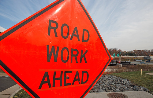
Construction zones can be stressful in heavy traffic. Remember "Orange Cones. No Phones." Photo courtesy of VDOTs Flickr page.
Many tunnels have height, weight, and inspection requirements. Click here for a detailed VDOTinformation page about height and weight restrictions and propane tank inspections on the bridges and tunnels in the Hampton Roads area.
Streaming traffic camera footage can be viewed on the Virginian-Pilotnews site.This page also posts tweets from the 511 traffic system and has additional traffic updates.
I usually estimate 6 minutes of extra travel time for each mile of tunnel back-up. For instance, if the tunnel is backed up three miles, I add about 18 minutes to my travel time. Be sure to map our your main route and an alternative route before you head out to Virginia State Parks in the Hampton Roads area.


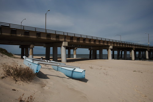
Getting to the beach means navigating some bridges and tunnels. Photo courtesy of VDOTs Flickr page.
The following list of abbreviations and location information can help you navigate the area and get to your Virginia State Park destination on time and in a good mood! Sometimes, drivers are encouraged or required to take an alternate route due to accidents or congestion. Please print this blog post and put it with your reservation information!
CBBT = Chesapeake Bay Bridge-Tunnel is located on Highway 13 connecting Virginia Beach to the Eastern Shore Peninsula; going over and under the Chesapeake Bay) $12 one way toll; $17 round trip toll if completed in 24 hours and you have an electronic EZPass. The round trip discount does not apply if you do not use an electronic EZPass. The Chesapeake Bay Bridge-Tunnel is a destination in and of itself with a gift shop, observation deck and fishing pier.
HRBT = Hampton Roads Bridge-Tunnel is located on I-64 between Norfolk and Hampton; going over and under the James River
MMBT = Monitor Merrimac Bridge-Tunnel is located on I-664 connection Hampton and Portsmouth; going over and under the James River
HRB = High Rise Bridge is located on I-64 at the southern end of Chesapeake; going over the Elizabeth River
JRB = James River Bridge is located on Route 17 connecting Hampton and Suffolk; going over the James River
Berkley Bridge and Downtown Tunnel is located on I-464 in downtown Norfolk; going over and under the Elizabeth River; construction is ongoing at this location through 2013 and 2014.
Gilmerton Bridge is located off I-464 and Military Highway; going over the Elizabeth River
South Norfolk. The tunnel now has toll gates. Charges are based on whether you use an EZpass or pay by an invoice sent to you based on your license plate. The EZpass gets you significant discount. There are also off peak discounts.
Jordan Bridge connects Portsmouth with Chesapeake over the Elizabeth River. Newly rebuilt, there is a toll charge that varies at peak times to use this bridge
Midtown Tunnel is located on I-264 connecting Norfolk and Portsmouth; going over and under the Elizabeth River.
Coleman Bridge is located on Route 17 connecting Newport News to the Northern Neck; going over the York River' $2 toll going north; no charge going south.
It can be stressful getting to Hampton Roads in heavy traffic, but it is worth it! Our beautiful coastlines, abundant trees, and winding rivers will make the stress melt away! Happy and safe travels!
