"What Trail Should We Hike?" Is perhaps the most common question from guest who has stumbled across York River State Park.
They can get maps from the kiosk or the brochure rack in the Visitor's Center. But, this question is best answered by a human being that has an experience with the area that paper and ink cannot express. "Which trail should I hike?" You ask, allow me the opportunity to share some of my favorite hikes with you!

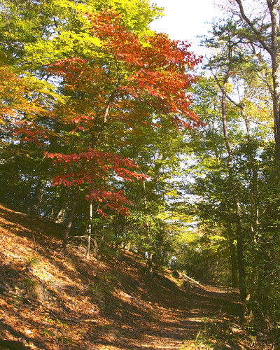
Hiking is popular year-round on our trails at York River State Park
Time is a major consideration for answering this question
- Those who are able to spend a few hours exploring the park may take in a couple of our most scenic trails such as Mattaponi (which has a spur to Fossil Beach) and Taskinas Creek.
- Others may choose to explore the more remote areas with a great view of the York such as Pamunkey or Riverview.
- Others may not have the time but still enjoy some beautiful sites. For such hikers, Beaver and Woodstock Pond Trails lead right back to the Bluebird Loop around the Visitor's Center.
Thus, we have options to enjoy unique shorelines and woodlands no matter how much time one is able to spend here.

We invite you to explore marshes, shorelines, and woodlands
Wildlife viewing can be tricky as birds and mammals are governed by their instincts and the seasons
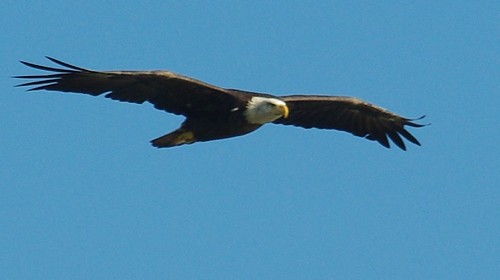
In general, bald eagles can be seen year round along all along the York and Taskinas Creek with occasional sightings around Woodstock Pond. White-tail deer reside here as well. But, these animals flee from the presence of humans. Osprey and green heron are among our favorite warm-season guest while the waters are a home for a variety of waterfowl. Foxes, muskrat, raccoons and river otters are not unusual in our marshes and woodlands as well. When hiking any trail, it is good to keep a sharp ear and keen eye out for almost anything.

This magnificant bird could be just overhead
- The Bluebird Loop Trail is handicap accessible with stunning views from iconic overlooks.
- Our other easy trails, such as Woodstock Pond, Mattaponi, and Beaver do have a couple of hills to navigate.
- Dogwood, Spur, and Whitetail are also listed as easy trails. But, they are a distance from the Visitor's Center along the Backbone Trail.
- Our other trails: Backbone, Pamunkey, Majestic Oak, Powhatan Forks, Riverview, and Taskinas Creek are rated as moderate with steep elevation changes. Backbone connects to all of these except Taskinas Creek.
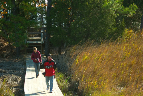
People of all abilities can enjoy hiking at our York River State Park.

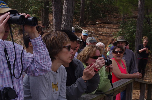
Hike with a friend or with a group
So to answer the most common question "Which trail should I hike?"
I would dare say all of them! Guests should consider their ability and time before hiking. Wear a good pair of shoes (no flip-flops) and carry water. It is a good idea to have a small First Aid kit and the phone number of the park office or ranger station in case of an emergency. Binoculars are a great way to get a better view of any wildlife and take a camera to capture images of the adventure. By all means, carry a map. Remember asking a ranger about the trails is a great way to get more details about the best suited trail for your needs and abilities and what to expect. Shared personal knowledge enhances the experience and that is what we are here for!
Directions to York River State Park: From I-64, take the Croaker Exit 231B. Go north on Route 607 (Croaker Rd.) for one mile, then right on Route 606 (Riverview Rd.) about one and a half miles to the park entrance. Take a left turn into the park.
Learn more about the trails at Virginia State Parks here, we hope to see you outside soon!
