HAVE WE GOT A VIEW FOR YOU!
Come on out to High Bridge Trail State Park and ride among the clouds
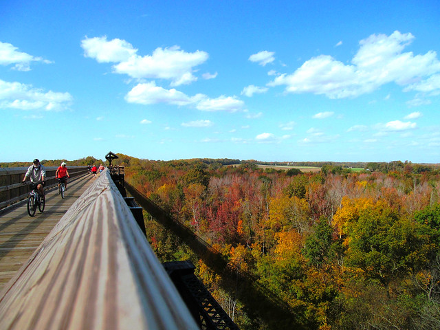
You can walk or ride above the tree tops as you cross the bridge
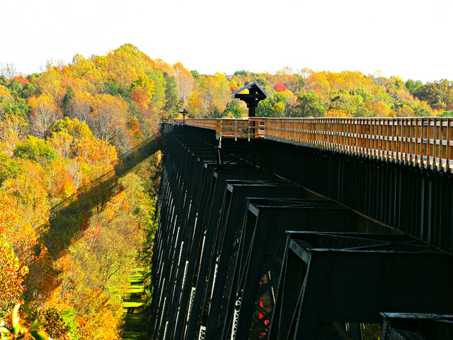
Fall is spectacular at High Bridge Trail State Park – bring your bike!
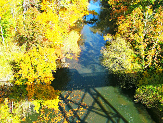
Catch the shadow of the bridge over the Appomattox River below
Early October you will begin to see sporadic color scattered over the landscape. Mid to end of October you will see it burst onto the scene in a brilliant show of vibrant foliage!
Depending on the year, the amount of rain or drought – you may even see the foliage season peak as late as the first week of November. The above photos were taken toward the very end of October.
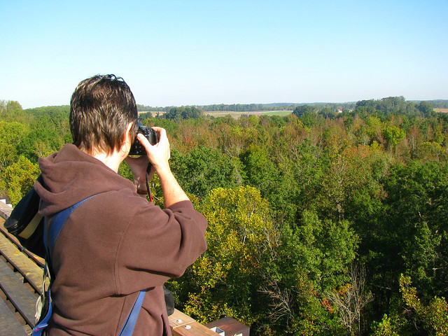
This photo was taken on a beautiful fall day October 8 (which is pre peak leaf season)
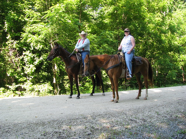
Riders welcome
ABOUT
High Bridge Trail is 31 miles long and ideally suited for hiking, bicycling and horseback riding. Once a rail bed, the trail is wide, level and generally flat. The trail’s finely crushed limestone surface and dimensions make it easy for everyone to enjoy. The park’s centerpiece is the majestic High Bridge, which is more than 2,400 feet long and 125 feet above the Appomattox River. It is the longest recreational bridge in Virginia and among the longest in the United States. High Bridge is a Virginia Historic Landmark and on the National Register of Historic Places. High Bridge Trail is designated a National Recreation Trail recognizing exemplary trails of local and regional significance, connecting people to nature, to each other, and to our shared histories and cultures. Bring plenty of drinking water because it's not available on the trail.
TRIP SUGGESTIONS
The parking lot closest to the bridge is at River Road. Consider these tips:
For pedestrians and hikers, the bridge is nearly a mile away.
Trailers are not allowed at the River Rd. parking lot.
Bikers might prefer parking at the Rice parking lot, which is 3.1 miles from the bridge and 8 miles from Farmville. Bikers might also wish to park at the Main Street plaza parking lot in Farmville; the bridge is 4.5 miles from that lot.
For equestrians, the designated horse trailer parking lots are at Osborne Road, which is about 2.9 miles from the bridge, and at Prospect, which is 12.4 miles to High Bridge.
HOURS
Dawn – dusk.
TRAIL MAP
Click here to view a PDF trail map.
CONTACT INFO
6888 Green Bay Rd., Green Bay, VA 23942; Phone: 434-315-0457; Email here.
High Bridge Trail is 31 miles long and runs through Cumberland, Nottoway and Prince Edward counties and the towns of Burkeville, Farmville, Pamplin City, Prospect and Rice.
LOCATION
Entrances – parking availability:
- Rice's Depot Road, 1/4-mile off U.S. 460 at Rice, near trail milepost 142
- River Road, three miles off N. Main St. in Farmville, near trail milepost 146
- Osborne Road, 1/4-mile off N. Main St. in Farmville, near trail milepost 149
- Municipal lots in Farmville where the trail intersects with Main St. near trail milepost 150
- Tuggle Road, off U.S. 460 and near U.S. 15 North, near trail milepost 156
- Prospect Road, off U.S. 460 at Prospect, near trail milepost 161
- Elam, off U.S. 460 at Sulpher Spring Rd., near trail milepost 164
- Heights School Rd., of U.S. Business 460 near Pamplin, near trail milepost 168
Come on out and bring the whole family for an autumn bridge day adventure at High Bridge Trail State Park. Fall will be over before you know it, so you won't want to miss out on the colorful leaves and scenery at this most picturesque Virginia State Park!
