The High Bridge Trail State Park.

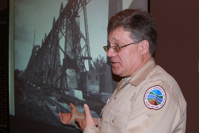
Park Education Specialist Bob Flippen talks to the Blue Ridge Chapter of National Railway Historical Society about the 1914 steel viaduct project.
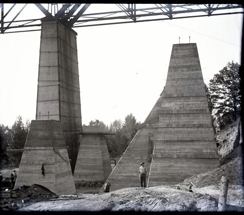
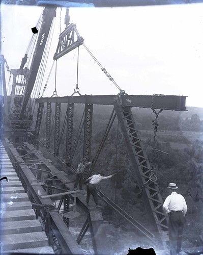
At the January meeting of the historical society, park educational specialist, Bob Flippen, gave a presentation of these long lost views and excerpts from Vail’s journal that gave insight into the progress of the construction and those involved with the 15-month project.

The donation will help with the purchase of negatives of photographs taken by, Willis W. Vail, the resident engineer for the 1914 steel viaduct project
Mr. Flippen has been asked by the Greensboro and Winston Salem chapters of the National Railway Historical Society to speak at their joint meeting this year and the Norfolk & Western Historical Society has asked him to present Mr. Vail’s story at their annual convention this summer.

Forgotten photos such as this one were stored away until recently discovered and acquired for the park.
Friends of High Bridge Trail is a non-profit citizen support organization supporting High Bridge Trail through volunteer efforts, advocacy and fundraising. The Friends may be contacted by email.
High Bridge Trail is about 31 miles long and runs through Cumberland, Nottoway and Prince Edward counties and the towns of Burkeville, Farmville, Pamplin City, Prospect and Rice.
Entrances – Parking availability:
- Rice's Depot Road, 1/4-mile off U.S. 460 at Rice, near trail milepost 142
- River Road, three miles off N. Main St. in Farmville, near trail milepost 146
- Osborne Road, 1/4-mile off N. Main St. in Farmville, near trail milepost 149
- Municipal lots in Farmville where the trail intersects with Main St. near trail milepost 150
- Tuggle Road, off U.S. 460 and near U.S. 15 North, near trail milepost 156
- Prospect Road, off U.S. 460 at Prospect, near trail milepost 161
- Elam, off U.S. 460 at Sulpher Spring Rd., near trail milepost 164
- Heights School Rd., of U.S. Business 460 near Pamplin, near trail milepost 168
